BooksRand McNally 2027 Large Scale Road Atlas
§Synopsis
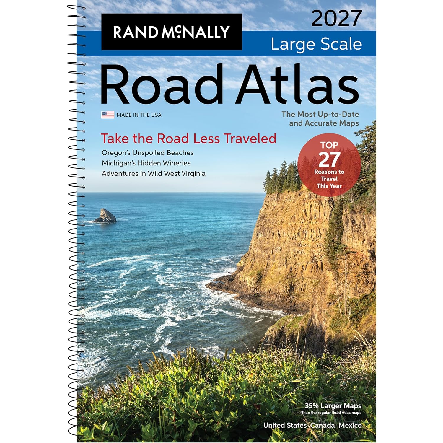
01Rand McNally 2027 Large Scale Road Atlas35% Larger Maps Than the Regular Road Atlas If having the most up to date and accurate maps developed by the #1 map company are important to you, then Rand McNally is your only choice. We have a 150+ year history of providing not just road and route guidance, but detailed information about states, points of interest, historic sites, and much more. Plus, this updated edition is packed with fresh reasons to pack the car and go this year!27 Reasons to Hit the Road: Navigating America's Biggest Year YetBetween the FIFA World Cup turning cities into international festivals and America250 turning our historic corridors into living museums, the roads will be humming with energy in 2026. For the road-tripper, this means our national arteries--such as the legendary Route 66, which turns 100 this year--will be the front row to a yearlong celebration. Whether you are chasing the roar of a stadium or the quiet dignity of a new presidential library in the Badlands, we'll share all the reasons why this is the year to plan your all-American road trip.Secret Escapes: 7 Stunning Detours for a Smarter Road TripExperience the joy of the "road trip dupe"--trading the tourist track for a pace that lets you slow down. Instead of the chaos of major hubs, discover the wild reaches of West Virginia, western Colorado or the hidden side of the Alabama Gulf Coast. By leaning into these off-peak windows, you trade long lines for serene vistas and soul-stirring beauty that feels entirely your own.The Journey ContinuesReady to hit the road? Scan the included QR codes on our seven road trip itineraries for more hidden gems, expert travel hacks and the perfect soundtrack for your trip.Why Choose Rand McNally Over the Competition?Always Up-to-Date Updated annually - unlike competitors who update only 2-3 years or more.Larger, More Readable Maps State maps are 35% larger than our regular Road Atlas and up to 170% larger than the competitor for easier navigation and planning.80% More Pages304 pages vs. just 169 pages of a distant competitor- offering easier to read maps with more map detail, more destinations, and more travel insight.More City Inset Maps 378 detailed city insets vs. 345 - nearly 10% more.Brand-New Editorial Content 16 pages of our editors' pics for best travel experiences updated annually - not a rerun of past content.Expertly Crafted Maps Created by our in-house cartographic team in Chicago vs. third party outsourced by competitors.Easier on the Eyes Clean white backgrounds and vibrant, user-friendly color palette vs. darker, less readable designs.Travel Planning Information Tourism, construction, and toll info for each U.S. state and Canadian province.QR Codes for Each Trip and on Each State Map PageProvides info on more hidden gems, expert travel tips, and tourism information.Page Locater MapQuick and easy access to the map you need.Updated, Accurate Location Names Reflects the latest naming standards from the U.S. Board on Geographic Names and the Department of the Interior - ensuring the most accurate, reliable information, while others do not.Tough Spiral Binding and UV Coated CoverSpiral binding allows pages to lay flat, and UV coating adds durability.Made in the USA Proudly made and printed in the United States, while others are printed in Canada.Product DetailsISBN: 0528029509UPC: 070609029504EAN: 9780528029509Dimensions: 10 3/8 " x 15 3/8"Page Count 304PaperbackSpiral BoundSRP: $32.99
Track this book
Add to your library to track progress and write reviews